
大潭港 topographic map
Interactive map
Click on the map to display elevation.
About this map
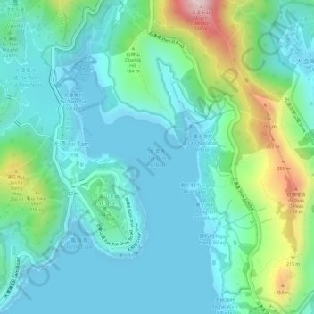
Name: 大潭港 topographic map, elevation, terrain.
Location: 大潭港, 大潭篤村, 南區, 香港島, 香港, 中国 (22.22982 114.22161 22.24706 114.23588)
Average elevation: 81 m
Minimum elevation: -2 m
Maximum elevation: 336 m