
成屋 topographic map
Interactive map
Click on the map to display elevation.
About this map
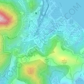
Name: 成屋 topographic map, elevation, terrain.
Location: 成屋, 柴灣工業區, 柴灣, 東區, 香港島, 香港, 中国 (22.25097 114.22883 22.27097 114.24883)
Average elevation: 118 m
Minimum elevation: -3 m
Maximum elevation: 483 m
Other topographic maps
Click on a map to view its topography, its elevation and its terrain.