
云田镇 topographic map
Interactive map
Click on the map to display elevation.
About this map
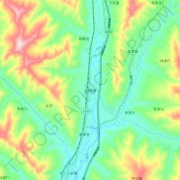
Name: 云田镇 topographic map, elevation, terrain.
Location: 云田镇, 陇西县, 定西市, 甘肃省, 中国 (35.06722 104.67722 35.14722 104.75722)
Average elevation: 1,861 m
Minimum elevation: 1,712 m
Maximum elevation: 2,150 m
Other topographic maps
Click on a map to view its topography, its elevation and its terrain.