
大同镇 topographic map
Interactive map
Click on the map to display elevation.
About this map
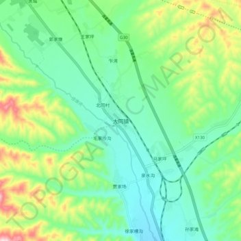
Name: 大同镇 topographic map, elevation, terrain.
Location: 大同镇, 永登县, 兰州市, 甘肃省, 中国 (36.57387 103.31043 36.65387 103.39043)
Average elevation: 2,019 m
Minimum elevation: 1,911 m
Maximum elevation: 2,280 m
Other topographic maps
Click on a map to view its topography, its elevation and its terrain.