
Kotabaru topographic map
Interactive map
Click on the map to display elevation.
About this map
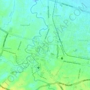
Name: Kotabaru topographic map, elevation, terrain.
Location: Kotabaru, Serang, Banten, Java, 42112, Indonesia (-6.11998 106.14821 -6.10798 106.15861)
Average elevation: 28 m
Minimum elevation: 18 m
Maximum elevation: 41 m
Other topographic maps
Click on a map to view its topography, its elevation and its terrain.