
Kasemen topographic map
Interactive map
Click on the map to display elevation.
About this map
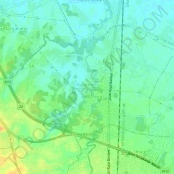
Name: Kasemen topographic map, elevation, terrain.
Location: Kasemen, Serang, Banten, Indonesia (-6.09284 106.13148 -6.06363 106.17248)
Average elevation: 15 m
Minimum elevation: 4 m
Maximum elevation: 33 m