
黔西市 topographic map
Interactive map
Click on the map to display elevation.
About this map
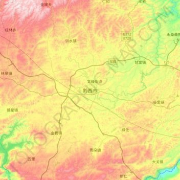
Name: 黔西市 topographic map, elevation, terrain.
Location: 黔西市, 毕节市, 贵州省, 中国 (26.85234 105.86856 27.17234 106.18856)
Average elevation: 1,309 m
Minimum elevation: 837 m
Maximum elevation: 1,815 m
Other topographic maps
Click on a map to view its topography, its elevation and its terrain.