
锦绣街道 topographic map
Interactive map
Click on the map to display elevation.
About this map
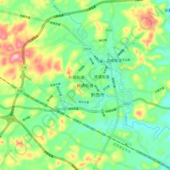
Name: 锦绣街道 topographic map, elevation, terrain.
Location: 锦绣街道, 黔西市, 毕节市, 贵州省, 中国 (26.97674 105.98181 27.05674 106.06181)
Average elevation: 1,254 m
Minimum elevation: 1,188 m
Maximum elevation: 1,378 m
Other topographic maps
Click on a map to view its topography, its elevation and its terrain.