
澌岸镇 topographic map
Interactive map
Click on the map to display elevation.
About this map
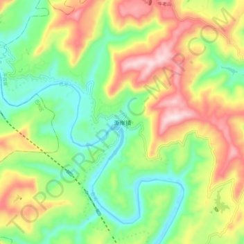
Name: 澌岸镇 topographic map, elevation, terrain.
Location: 澌岸镇, 平昌县, 巴中市, 四川省, 中国 (31.68193 106.92507 31.76193 107.00507)
Average elevation: 482 m
Minimum elevation: 284 m
Maximum elevation: 770 m
Other topographic maps
Click on a map to view its topography, its elevation and its terrain.