
云台镇 topographic map
Interactive map
Click on the map to display elevation.
About this map
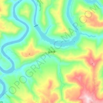
Name: 云台镇 topographic map, elevation, terrain.
Location: 云台镇, 平昌县, 巴中市, 四川省, 中国 (31.56060 107.15485 31.64060 107.23485)
Average elevation: 491 m
Minimum elevation: 279 m
Maximum elevation: 906 m
Other topographic maps
Click on a map to view its topography, its elevation and its terrain.