
南沙河镇 topographic map
Interactive map
Click on the map to display elevation.
About this map
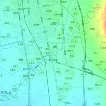
Name: 南沙河镇 topographic map, elevation, terrain.
Location: 南沙河镇, 滕州市, 枣庄市, 山东省, 中国 (34.97225 117.16427 35.05663 117.25413)
Average elevation: 64 m
Minimum elevation: 51 m
Maximum elevation: 128 m
Other topographic maps
Click on a map to view its topography, its elevation and its terrain.