
张汪镇 topographic map
Interactive map
Click on the map to display elevation.
About this map
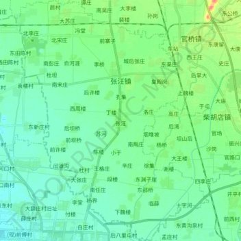
Name: 张汪镇 topographic map, elevation, terrain.
Location: 张汪镇, 滕州市, 枣庄市, 山东省, 中国 (34.82037 117.09860 34.94612 117.22135)
Average elevation: 44 m
Minimum elevation: 32 m
Maximum elevation: 83 m
Other topographic maps
Click on a map to view its topography, its elevation and its terrain.