
安溪镇 topographic map
Interactive map
Click on the map to display elevation.
About this map
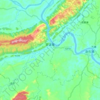
Name: 安溪镇 topographic map, elevation, terrain.
Location: 安溪镇, 富顺县, 自贡市, 四川省, 中国 (28.96542 104.96639 29.09425 105.07386)
Average elevation: 315 m
Minimum elevation: 242 m
Maximum elevation: 580 m
Other topographic maps
Click on a map to view its topography, its elevation and its terrain.