
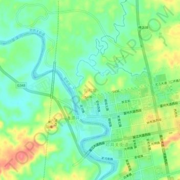
安和寨 topographic map
Interactive map
Click on the map to display elevation.
About this map
Name: 安和寨 topographic map, elevation, terrain.
Location: 安和寨, 邓井关街道, 富顺县, 自贡市, 四川省, 中国 (29.17178 104.91827 29.21178 104.95827)
Average elevation: 288 m
Minimum elevation: 262 m
Maximum elevation: 333 m