
石龙区 topographic map
Interactive map
Click on the map to display elevation.
About this map
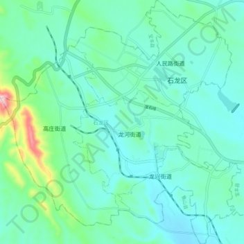
Name: 石龙区 topographic map, elevation, terrain.
Location: 石龙区, 平顶山市, 河南省, 中国 (33.85139 112.83790 33.92367 112.92367)
Average elevation: 230 m
Minimum elevation: 169 m
Maximum elevation: 507 m
Other topographic maps
Click on a map to view its topography, its elevation and its terrain.