
湛河区 topographic map
Interactive map
Click on the map to display elevation.
About this map
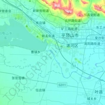
Name: 湛河区 topographic map, elevation, terrain.
Location: 湛河区, 平顶山市, 河南省, 中国 (33.65326 113.13024 33.75266 113.37582)
Average elevation: 114 m
Minimum elevation: 74 m
Maximum elevation: 501 m
Other topographic maps
Click on a map to view its topography, its elevation and its terrain.