
东风村 topographic map
Interactive map
Click on the map to display elevation.
About this map
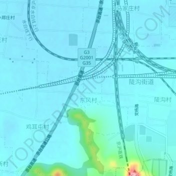
Name: 东风村 topographic map, elevation, terrain.
Location: 东风村, 陡沟街道, 市中区, 济南市, 山东省, 250000, 中国 (36.59847 116.87679 36.60701 116.88146)
Average elevation: 57 m
Minimum elevation: 44 m
Maximum elevation: 192 m
Other topographic maps
Click on a map to view its topography, its elevation and its terrain.