
兴济河 topographic map
Interactive map
Click on the map to display elevation.
About this map
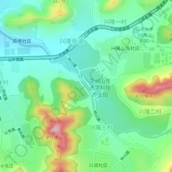
Name: 兴济河 topographic map, elevation, terrain.
Location: 兴济河, 兴隆一村, 兴隆街道, 市中区, 济南市, 山东省, 250000, 中国 (36.59045 117.02963 36.59533 117.03510)
Average elevation: 196 m
Minimum elevation: 126 m
Maximum elevation: 361 m