
南山村 topographic map
Interactive map
Click on the map to display elevation.
About this map
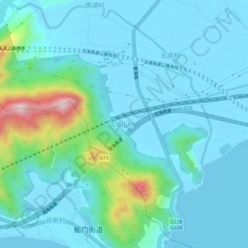
Name: 南山村 topographic map, elevation, terrain.
Location: 南山村, 海丰县, 汕尾市, 广东省, 中国 (22.81139 115.14389 22.85139 115.18389)
Average elevation: 54 m
Minimum elevation: -3 m
Maximum elevation: 351 m
Other topographic maps
Click on a map to view its topography, its elevation and its terrain.