
金钩 topographic map
Interactive map
Click on the map to display elevation.
About this map
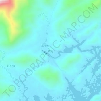
Name: 金钩 topographic map, elevation, terrain.
Location: 金钩, 海丰县, 汕尾市, 广东省, 中国 (23.04930 115.27536 23.08930 115.31536)
Average elevation: 130 m
Minimum elevation: 40 m
Maximum elevation: 734 m
Other topographic maps
Click on a map to view its topography, its elevation and its terrain.