
新疆街道 topographic map
Interactive map
Click on the map to display elevation.
About this map
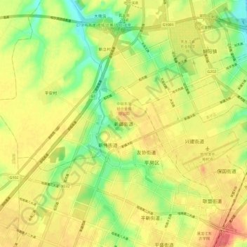
Name: 新疆街道 topographic map, elevation, terrain.
Location: 新疆街道, 哈尔滨市, 黑龙江省, 150060, 中国 (45.56830 126.57803 45.64830 126.65803)
Average elevation: 178 m
Minimum elevation: 148 m
Maximum elevation: 201 m
Other topographic maps
Click on a map to view its topography, its elevation and its terrain.