
瓦丘 topographic map
Interactive map
Click on the map to display elevation.
About this map
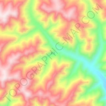
Name: 瓦丘 topographic map, elevation, terrain.
Location: 瓦丘, 卓尼县, 甘南藏族自治州, 甘肃省, 中国 (34.43935 102.92396 34.47935 102.96396)
Average elevation: 3,458 m
Minimum elevation: 3,169 m
Maximum elevation: 3,659 m
Other topographic maps
Click on a map to view its topography, its elevation and its terrain.