
齐车 topographic map
Interactive map
Click on the map to display elevation.
About this map
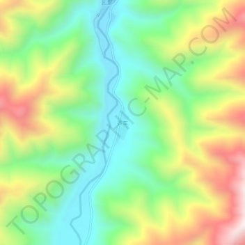
Name: 齐车 topographic map, elevation, terrain.
Location: 齐车, 卓尼县, 甘南藏族自治州, 甘肃省, 中国 (34.45445 103.57061 34.49445 103.61061)
Average elevation: 2,906 m
Minimum elevation: 2,590 m
Maximum elevation: 3,405 m
Other topographic maps
Click on a map to view its topography, its elevation and its terrain.