
Lanzhou topographic map
Click on the map to display elevation.
About this map
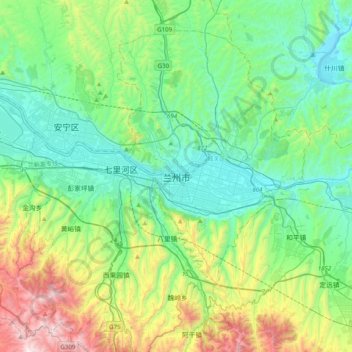
Name: Lanzhou topographic map, elevation, terrain.
Location: Lanzhou, Chengguan District, Lanzhou, Gansu, 730030, China (35.90152 103.67188 36.22152 103.99188)
Average elevation: 1,834 m
Minimum elevation: 1,477 m
Maximum elevation: 2,905 m
Other topographic maps
Click on a map to view its topography, its elevation and its terrain.
Aksay Kazakh Autonomous County
The county lies on the northern edge of the Tibetan Plateau and has an average elevation of about 3,200 meters.
Average elevation: 2,661 m