
上高镇 topographic map
Interactive map
Click on the map to display elevation.
About this map
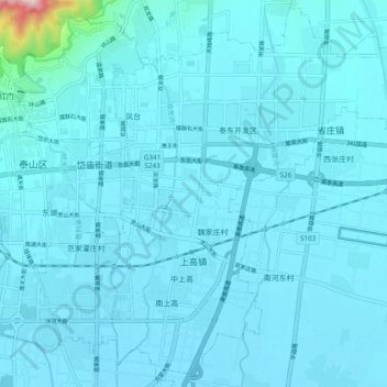
Name: 上高镇 topographic map, elevation, terrain.
Location: 上高镇, 泰山区, 泰安市, 山东省, 271000, 中国 (36.14988 117.12981 36.22424 117.22513)
Average elevation: 150 m
Minimum elevation: 122 m
Maximum elevation: 662 m
Other topographic maps
Click on a map to view its topography, its elevation and its terrain.