
长岗镇 topographic map
Interactive map
Click on the map to display elevation.
About this map
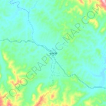
Name: 长岗镇 topographic map, elevation, terrain.
Location: 长岗镇, 随县, 随州市, 湖北省, 中国 (31.51114 112.93163 31.59114 113.01163)
Average elevation: 253 m
Minimum elevation: 169 m
Maximum elevation: 547 m
Other topographic maps
Click on a map to view its topography, its elevation and its terrain.