
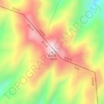
太白顶 topographic map
Interactive map
Click on the map to display elevation.
About this map
Name: 太白顶 topographic map, elevation, terrain.
Location: 太白顶, 万和, 随县, 随州市, 湖北省, 中国 (32.37730 113.27608 32.37740 113.27618)
Average elevation: 801 m
Minimum elevation: 429 m
Maximum elevation: 1,124 m