
摆省乡 topographic map
Interactive map
Click on the map to display elevation.
About this map
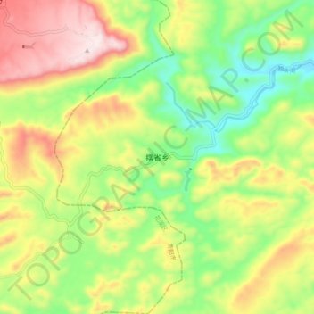
Name: 摆省乡 topographic map, elevation, terrain.
Location: 摆省乡, 龙里县, 黔南布依族苗族自治州, 贵州省, 558000, 中国 (26.21126 106.83938 26.29126 106.91938)
Average elevation: 1,338 m
Minimum elevation: 1,117 m
Maximum elevation: 1,623 m
Other topographic maps
Click on a map to view its topography, its elevation and its terrain.