
龙里县 topographic map
Interactive map
Click on the map to display elevation.
About this map
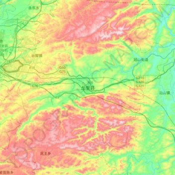
Name: 龙里县 topographic map, elevation, terrain.
Location: 龙里县, 黔南布依族苗族自治州, 贵州省, 558000, 中国 (26.29490 106.81937 26.61490 107.13937)
Average elevation: 1,298 m
Minimum elevation: 942 m
Maximum elevation: 1,760 m
Other topographic maps
Click on a map to view its topography, its elevation and its terrain.