
临沂临港经济开发区 topographic map
Interactive map
Click on the map to display elevation.
About this map
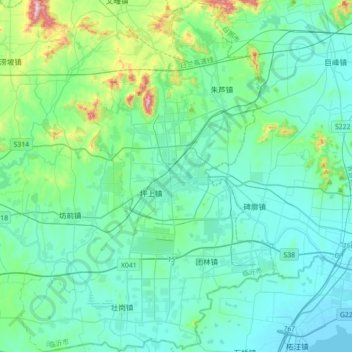
Name: 临沂临港经济开发区 topographic map, elevation, terrain.
Location: 临沂临港经济开发区, 莒南县, 临沂市, 山东省, 中国 (35.04781 118.93928 35.33672 119.19511)
Average elevation: 84 m
Minimum elevation: -2 m
Maximum elevation: 553 m
Other topographic maps
Click on a map to view its topography, its elevation and its terrain.