
坪上镇 topographic map
Interactive map
Click on the map to display elevation.
About this map
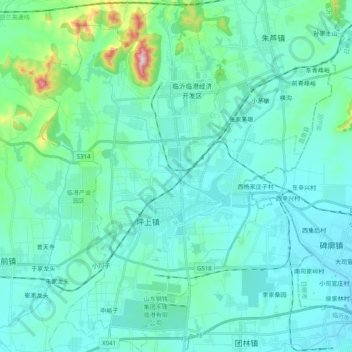
Name: 坪上镇 topographic map, elevation, terrain.
Location: 坪上镇, 临沂临港经济开发区, 莒南县, 临沂市, 山东省, 中国 (35.11805 119.01129 35.28101 119.15835)
Average elevation: 86 m
Minimum elevation: 16 m
Maximum elevation: 540 m
Other topographic maps
Click on a map to view its topography, its elevation and its terrain.