
打夯 topographic map
Interactive map
Click on the map to display elevation.
About this map
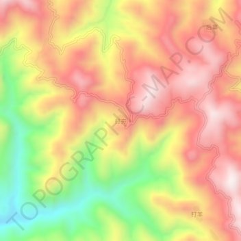
Name: 打夯 topographic map, elevation, terrain.
Location: 打夯, 望谟县, 黔西南布依族苗族自治州, 贵州省, 中国 (25.29966 106.14804 25.33966 106.18804)
Average elevation: 1,300 m
Minimum elevation: 898 m
Maximum elevation: 1,594 m
Other topographic maps
Click on a map to view its topography, its elevation and its terrain.