
Dixie topographic map
Interactive map
Click on the map to display elevation.
About this map
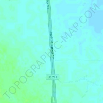
Name: Dixie topographic map, elevation, terrain.
Location: Dixie, Brooks County, Texas, United States (27.09982 -98.15728 27.11982 -98.13728)
Average elevation: 37 m
Minimum elevation: 34 m
Maximum elevation: 42 m
Other topographic maps
Click on a map to view its topography, its elevation and its terrain.
Falfurrias
United States > Texas > Brooks County
Falfurrias, Brooks County, Texas, 78355, United States
Average elevation: 37 m