
Thank you for supporting this site ❤️
Make a donation
Make a donation
Falfurrias topographic map
Click on the map to display elevation.
Thank you for supporting this site ❤️
Make a donation
Make a donation
About this map
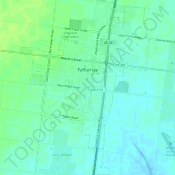
Name: Falfurrias topographic map, elevation, terrain.
Location: Falfurrias, Brooks County, Texas, 78355, United States (27.19844 -98.16535 27.24218 -98.12872)
Average elevation: 37 m
Minimum elevation: 32 m
Maximum elevation: 44 m
Thank you for supporting this site ❤️
Make a donation
Make a donation
Other topographic maps
Click on a map to view its topography, its elevation and its terrain.