
马庄沟村 topographic map
Interactive map
Click on the map to display elevation.
About this map
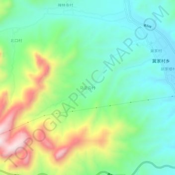
Name: 马庄沟村 topographic map, elevation, terrain.
Location: 马庄沟村, 邢台市, 河北省, 054000, 中国 (37.23562 113.91638 37.27562 113.95638)
Average elevation: 725 m
Minimum elevation: 539 m
Maximum elevation: 1,119 m
Other topographic maps
Click on a map to view its topography, its elevation and its terrain.