
Lac Sumas topographic map
Interactive map
Click on the map to display elevation.
About this map
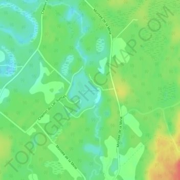
Name: Lac Sumas topographic map, elevation, terrain.
Average elevation: 264 m
Minimum elevation: 244 m
Maximum elevation: 295 m
Other topographic maps
Click on a map to view its topography, its elevation and its terrain.
Lac Lynx
Canada > Québec > L'Ascension
Lac Lynx, Chemin du Lac-Curières, L'Ascension, Antoine-Labelle, Laurentides, Québec, Canada
Average elevation: 547 m