
Lac Lynx topographic map
Interactive map
Click on the map to display elevation.
About this map
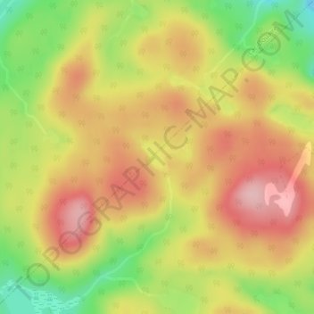
Name: Lac Lynx topographic map, elevation, terrain.
Average elevation: 547 m
Minimum elevation: 447 m
Maximum elevation: 623 m
Other topographic maps
Click on a map to view its topography, its elevation and its terrain.
Lac Sumas
Canada > Québec > L'Ascension
Lac Sumas, Chemin des Sapins, L'Ascension, Antoine-Labelle, Laurentides, Québec, J0T1W0, Canada
Average elevation: 264 m