
浯水 topographic map
Interactive map
Click on the map to display elevation.
About this map
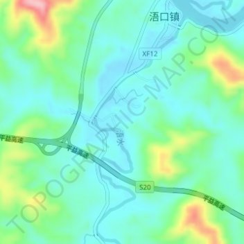
Name: 浯水 topographic map, elevation, terrain.
Location: 浯水, 平江县, 岳阳市, 湖南省, 中国 (28.74637 113.34225 28.77119 113.35378)
Average elevation: 88 m
Minimum elevation: 48 m
Maximum elevation: 209 m
Other topographic maps
Click on a map to view its topography, its elevation and its terrain.