
幕阜山 topographic map
Interactive map
Click on the map to display elevation.
About this map
Name: 幕阜山 topographic map, elevation, terrain.
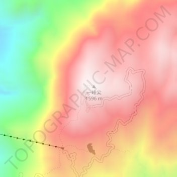
Location: 幕阜山, 平江县, 岳阳市, 湖南省, 中国 (28.98740 113.82654 28.98750 113.82664)
Average elevation: 1,206 m
Minimum elevation: 615 m
Maximum elevation: 1,584 m
幕阜山,地处湖南、湖北、江西三省交界处,同名主峰位于湖南省岳阳市平江县南江镇,是罗霄山脉北端支脉。东北-西南走向,为褶皱断块山。临近古夏水,故又称“负夏”。海拔1597.2米,占地6468公顷。古称天岳山,三国东吴名将太史慈拒刘表大军,扎营幕于山顶,遂改称幕阜山。除同名主峰外,尚有九宫山(海拔1543米)只角樓(海拔1528米)等高峰。
Other topographic maps
Click on a map to view its topography, its elevation and its terrain.