
太坪头 topographic map
Interactive map
Click on the map to display elevation.
About this map
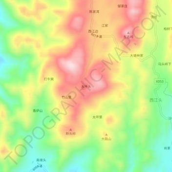
Name: 太坪头 topographic map, elevation, terrain.
Location: 太坪头, 桂阳县, 郴州市, 湖南省, 中国 (25.99200 112.70673 26.03200 112.74673)
Average elevation: 375 m
Minimum elevation: 205 m
Maximum elevation: 549 m
Other topographic maps
Click on a map to view its topography, its elevation and its terrain.