
方元镇 topographic map
Interactive map
Click on the map to display elevation.
About this map
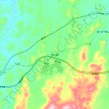
Name: 方元镇 topographic map, elevation, terrain.
Location: 方元镇, 桂阳县, 郴州市, 湖南省, 中国 (25.61910 112.61700 25.69910 112.69700)
Average elevation: 353 m
Minimum elevation: 236 m
Maximum elevation: 599 m
Other topographic maps
Click on a map to view its topography, its elevation and its terrain.