
塔贤 topographic map
Interactive map
Click on the map to display elevation.
About this map
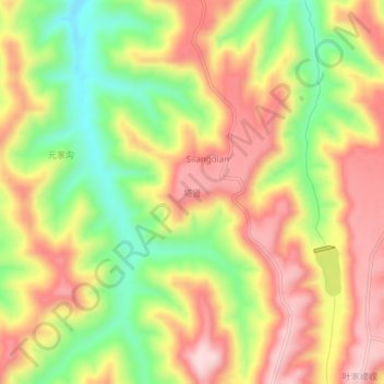
Name: 塔贤 topographic map, elevation, terrain.
Location: 塔贤, 灵台县, 平凉市, 甘肃省, 中国 (34.94542 107.46971 34.98542 107.50971)
Average elevation: 1,271 m
Minimum elevation: 1,106 m
Maximum elevation: 1,414 m
Other topographic maps
Click on a map to view its topography, its elevation and its terrain.