
社古 topographic map
Interactive map
Click on the map to display elevation.
About this map
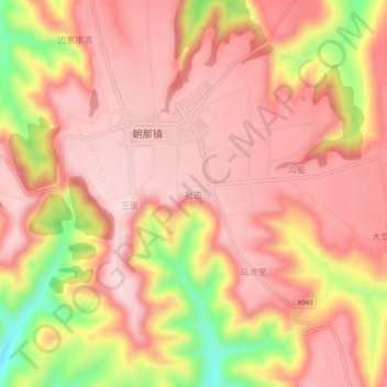
Name: 社古 topographic map, elevation, terrain.
Location: 社古, 灵台县, 平凉市, 甘肃省, 中国 (35.06330 107.19900 35.10330 107.23900)
Average elevation: 1,414 m
Minimum elevation: 1,219 m
Maximum elevation: 1,498 m
Other topographic maps
Click on a map to view its topography, its elevation and its terrain.