
唐河县 topographic map
Interactive map
Click on the map to display elevation.
About this map
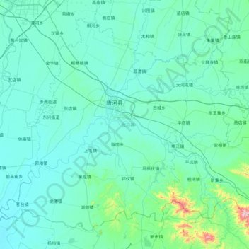
Name: 唐河县 topographic map, elevation, terrain.
Location: 唐河县, 南阳市, 河南省, 中国 (32.34510 112.46771 32.91882 113.26334)
Average elevation: 143 m
Minimum elevation: 73 m
Maximum elevation: 988 m
Other topographic maps
Click on a map to view its topography, its elevation and its terrain.