
Freire topographic map
Interactive map
Click on the map to display elevation.
About this map
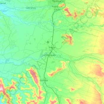
Name: Freire topographic map, elevation, terrain.
Location: Freire, Provincia de Cautín, Región de la Araucanía, Chile (-39.11956 -72.92160 -38.82541 -72.30102)
Average elevation: 135 m
Minimum elevation: 18 m
Maximum elevation: 581 m
Other topographic maps
Click on a map to view its topography, its elevation and its terrain.
Coipué
Chile > Región de la Araucanía > Provincia de Cautín > Freire
Coipué, Freire, Provincia de Cautín, Región de la Araucanía, Chile
Average elevation: 163 m