
Coipué topographic map
Interactive map
Click on the map to display elevation.
About this map
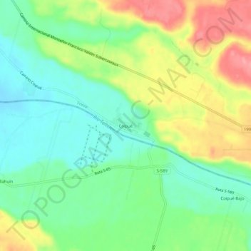
Name: Coipué topographic map, elevation, terrain.
Average elevation: 163 m
Minimum elevation: 124 m
Maximum elevation: 224 m
Other topographic maps
Click on a map to view its topography, its elevation and its terrain.
Freire
Chile > Región de la Araucanía > Provincia de Cautín > Freire
Freire, Provincia de Cautín, Región de la Araucanía, Chile
Average elevation: 135 m