
肖山 topographic map
Interactive map
Click on the map to display elevation.
About this map
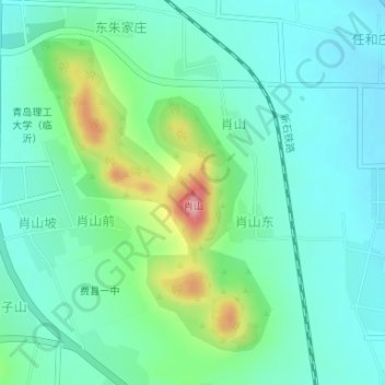
Name: 肖山 topographic map, elevation, terrain.
Location: 肖山, 费县, 临沂市, 山东省, 273400, 中国 (35.25125 118.03984 35.25135 118.03994)
Average elevation: 132 m
Minimum elevation: 96 m
Maximum elevation: 242 m
Other topographic maps
Click on a map to view its topography, its elevation and its terrain.