
胡杨河 topographic map
Interactive map
Click on the map to display elevation.
About this map
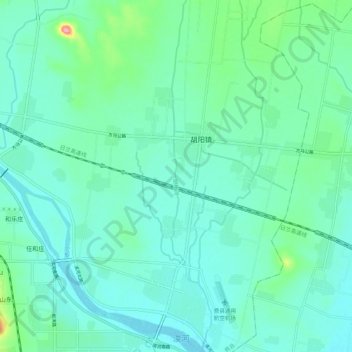
Name: 胡杨河 topographic map, elevation, terrain.
Location: 胡杨河, 费县, 临沂市, 山东省, 中国 (35.23584 118.09715 35.32453 118.10956)
Average elevation: 105 m
Minimum elevation: 84 m
Maximum elevation: 197 m
Other topographic maps
Click on a map to view its topography, its elevation and its terrain.