
Coulterville topographic map
Interactive map
Click on the map to display elevation.
About this map
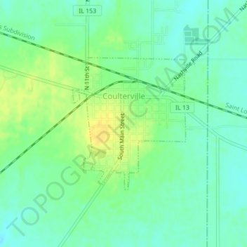
Name: Coulterville topographic map, elevation, terrain.
Average elevation: 165 m
Minimum elevation: 155 m
Maximum elevation: 179 m
Other topographic maps
Click on a map to view its topography, its elevation and its terrain.
Chester
United States > Illinois > Randolph County > Chester
Chester, Randolph County, Illinois, United States
Average elevation: 145 m
Chester
United States > Illinois > Randolph County > Chester
Chester, Randolph County, Illinois, 62233, United States
Average elevation: 143 m