
隆化镇 topographic map
Interactive map
Click on the map to display elevation.
About this map
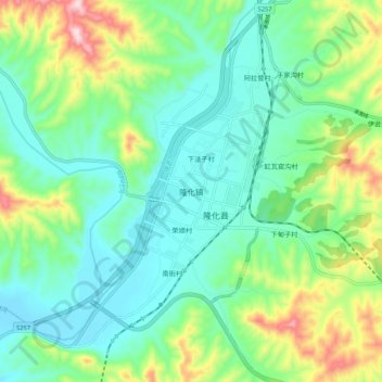
Name: 隆化镇 topographic map, elevation, terrain.
Location: 隆化镇, 承德市, 河北省, 中国 (41.27729 117.68567 41.35729 117.76567)
Average elevation: 629 m
Minimum elevation: 531 m
Maximum elevation: 884 m
Other topographic maps
Click on a map to view its topography, its elevation and its terrain.